From Space Scans to Smartphone Alerts
The Business of AI-Powered Agriculture
This Week's Highlights

5 Top Manufacturing Startups To Watch

How Flo Mobility Is Bringing AI-Powered Robots to India's Construction Sites

Bad Skin Day Billion Dollar Idea: The Yes Madam Story

How Frostreats Turned A Simple Idea Into ₹14 Crore Business

Secures ₹290 Crore Series B To Scale Rural Retail Network

How Pilgrim Achieved 24x Growth In The Beauty Industry?
Think about what it takes to run a massive farm. You’re managing thousands of acres, and for generations, checking on crops meant walking the field, staring at leaves, and praying the weather held out.
The problem? By the time a human eye notices yellowing leaves or a fungal outbreak, the damage is already done. A single bad pest season or unexpected dry spell can wipe out months of backbreaking work in days.
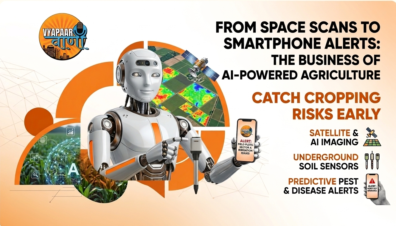
That’s why the idea of using space satellites to save farms isn't just futuristic, it's fast becoming normal. Platforms like Cropin are pairing satellites hundreds of miles above Earth with artificial intelligence and ground sensors to catch crop failures before they even happen.
The Big Problem: Blind Spots on the Farm
Farming at scale has always had a visibility issue. You simply can't be everywhere at once. When something goes wrong on a farm, three major issues usually pop up:
- Catching problems too late: Pests, root rot, and soil diseases usually work invisibly underground or inside plant tissue long before you see physical damage.
- Wasted money and inputs: Without exact data, farmers often end up over-watering or dumping expensive fertilizers across an entire field just to save one small section.
- Unpredictable harvests: When you can't see what's happening acre by acre, forecasting how much food you'll actually harvest becomes a total guessing game.
How it Works: From Orbit to Your Phone
How does tracking a field from space actually save a crop? It comes down to a simple, four-step loop:
- 1. Collect: Satellites pass overhead, taking high-resolution images that read light wavelengths human eyes can't see like plant stress and canopy greenness. Down on the ground, small IoT soil sensors log moisture, humidity, and temperature.
- 2. Analyze: An AI engine processes all that raw data. It compares what the satellite sees today against historical weather trends and crop growth stages to spot tiny anomalies.
- 3. Deliver: Instead of sending a farm manager a wall of complicated scientific data, the system pushes a simple, direct alert to their phone: "Plot 4 is showing early signs of water stress," or "Pest risk high in sector B."
- 4. Grow: The farm team takes action only where it's needed. They fix the issue, save money on chemicals, lower water waste, and keep the harvest on track.
Does This Stuff Actually Work at Scale?
This isn't an experimental lab project. It’s already running across massive agricultural supply chains around the globe:
- Global Reach: Over 52 countries actively using satellite-driven data.
- Enterprise Adoption: 250+ major agribusinesses rely on it daily.
- Total Coverage: Millions of acres of cropland tracked in real time.
- The Big Win: Catching yield-killing risks weeks before they hit the market.
What Does Farming Look Like 5 Years From Now?
Agritech is moving fast. We're transitioning from tools that just tell us what's happening to systems that actively help us manage it:
- AI Agronomists in Your Pocket: Instead of reading charts, managers will just ask an AI assistant: "Which fields need nitrogen this week?" or "What's our expected yield for next month's harvest?"
- Tractors on Autopilot: Satellites will spot a problem, AI will map the solution, and autonomous tractors or drones will automatically adjust their spraying with no human intervention required.
- Easier Carbon & Eco-Tracking: Proving that a farm uses sustainable practices used to take mountains of paperwork. Real-time satellite records will make verifying green practices automatic, opening up new income streams like carbon credits.
Enjoying this breakdown? Get more actionable business and tech insights directly in your feed. Join our community on Instagram at @vyapaar_vaani or explore full stories on vyapaarvaani.com.
Connect With Us
For Any Inquiries Or Assistance, Please Feel Free To Reach Out. Our Team Is Here To Support You And Will Respond At The Earliest Convenience